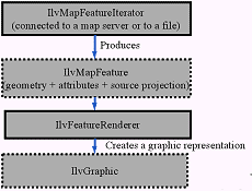
Load-on-demand is a generic framework in ILOG Views Maps, with ready-to-use implementations for Oracle Spatial, CADRG and DTED. The easy-extension protocol is ideal for tasks such as loading tiled JPEG images, or building user-defined map readers that employ vector or raster data.
The reader framework enables access to multiple raster or vector data sources. Rendering classes can apply symbology to any source. Predefined implementations are available for leading data sources:
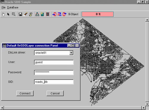
- Oracle Spatial
- ShapeFile format
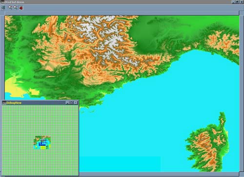
- DTED and CADRG military formats
- Image formats (JPEG, PNG, BMP, PPM, WBMP)
Georeferencing services
Georeferencing services for any map-based application:
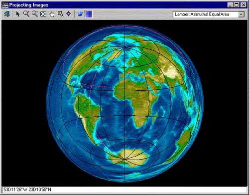
- Data reprojection from a set of 19 predefined projections
- Data conversion between different geodetic systems
- Scale management
- Layer visibility filters for displaying data pertinent to a particular zoom level
- Unit management and distance computation

Interactivity
Provides most common interaction modes, including:
- Object selection
- Object editing
- Zoom, pan, and scroll
- Overview
Easy integration and deployment
ILOG Views Maps is a C++ library available for Windows, Linux and UNIX. Displays can integrate into Windows, Linux or UNIX applications, and can be deployed as Windows ActiveX components.
Extensibility
Easy extension protocol for customizing any part of map-based applications, including:
- Symbologies
- Interaction modes
- New projections
- User-defined map readers
Maps Data and Maps Builder
A map CD-ROM is included with ILOG Views Maps. The CD-ROM contains ready-to-use raster and vector maps appropriate for applications that require country-level or regional-level map backgrounds, like asset-management applications. A Maps Builder for manipulating data and creating personalized maps is also provided.